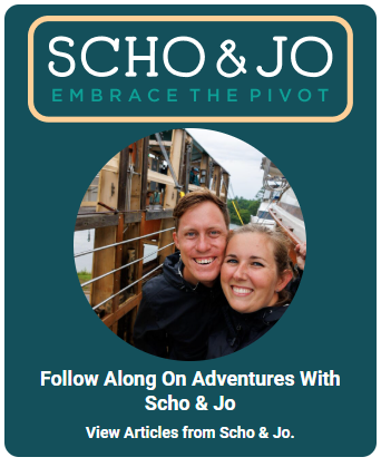
Scho and Jo are recognized throughout the boating community for their clear, engaging multimedia content, offering practical insights on everything from boat preparation and maintenance to life underway.
In this Cruising Guide to the St. Johns River, they share first-hand knowledge from their Great Loop journey aboard "Pivot," their 1989 34-foot Marine Trader DC, to help fellow boaters plan a safe, enjoyable, and memorable trip.

About St. Johns River
The St. Johns River is the longest in Florida at 310 miles long and flows north into the Atlantic Ocean from its headwaters at Blue Cypress Lake in Indian River County. The widest point of the river is 3 miles wide. The mouth of the St Johns River begins as saltwater marshes at the Atlantic Ocean and narrows into a blackwater stream. Due to the river's groundwater and marsh start, the St Johns River is primarily freshwater. Although many clear springs feed into the St. Johns River, the river is brown because of the tannins in the water.
The river drops 30 feet in elevation as it approaches the Atlantic Ocean over those 310 miles. The river flows rather slowly, making it a true "lazy river" at a speed of 0.3 mph (at slack tide). The St. Johns River watershed covers an area of nearly 9,000 square miles and is home to over five million people, covering almost 16% of the state of Florida. The river has many lakes and natural springs that flow into the River. The river we know as St. Johns was previously named Welaka, or river of lakes, by the Timucua Native Americans. There are 3,500 lakes and 100 springs found in the St Johns River watershed.
The St. Johns River is surrounded by 700,000 acres of land for recreational adventures such as hiking, camping, hunting, biking, and equestrian riding. It's the Bass Fishing Capital of the World and hosts several Bass Fishing Tournaments. One of the reasons this trip is so unique on the Great Loop is that this side trip has an abundance of wildlife and is rather remote compared to many other areas of the route.
Navigating St. Johns River
Most of the commercial traffic travels between the entrance to the Atlantic Ocean and Jacksonville, so once you make your way south of Jacksonville, the commercial traffic will decrease dramatically. Small bow riders, day boats, modest sailboats, and fishing boats make up the local boat traffic going south. The river is easily marked and rather wide, making it easy to navigate and explore. Since the St Johns River is known as a "lazy river" there is a current of about 0.5-2 knots depending upon recent rainfall and your location on the river.
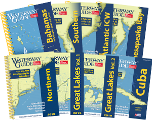
For full navigation advice on St. Johns River, see Chapter 2 of Waterway Guide Southern Edition. Purchase a Print + Digital Subscription, here.
Bridges on St. Johns River
Several bridges along the St. Johns River have varying heights and operability. The bridges won't be a cause of concern for most cruising boats. However, it will depend on the height of a sailboat's mast and whether or not they can make it as far south as Green Cove Springs or all the way south to Sanford. The bridge that makes this boating to Sanford dependent upon the boat's clearance is the Shands Bridge, at a height of 45 feet. There are plans to build a new bridge with a height of 65 feet in the future, allowing sailboats with a mast of 65 feet or less to travel south to Sanford. As soon as you cruise down the St. Johns River, you'll be met with Jacksonville's Seven Bridges, which come right after another, keeping you on your toes. The further south you go, the bridges do get smaller.
- 4,000 Marinas
- Thousands of anchorages
- Updated Charts
- Mile-by-Mile Navigation
- Highlighted Alerts & Cautions
- Full-Color Aerial Photographs
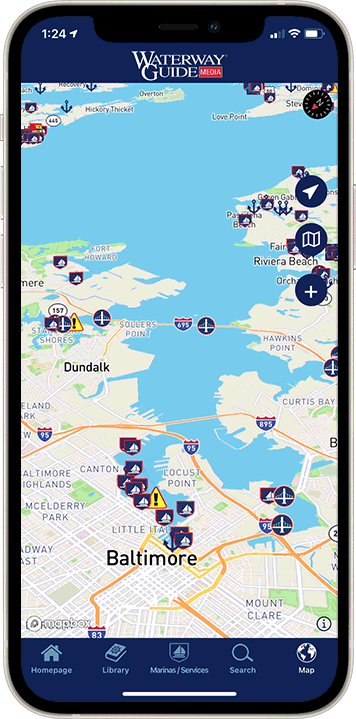
The Waterway Guide App Makes it easy to leave reviews, use our explorer, and view waterway guide materials all on the go!