Log In
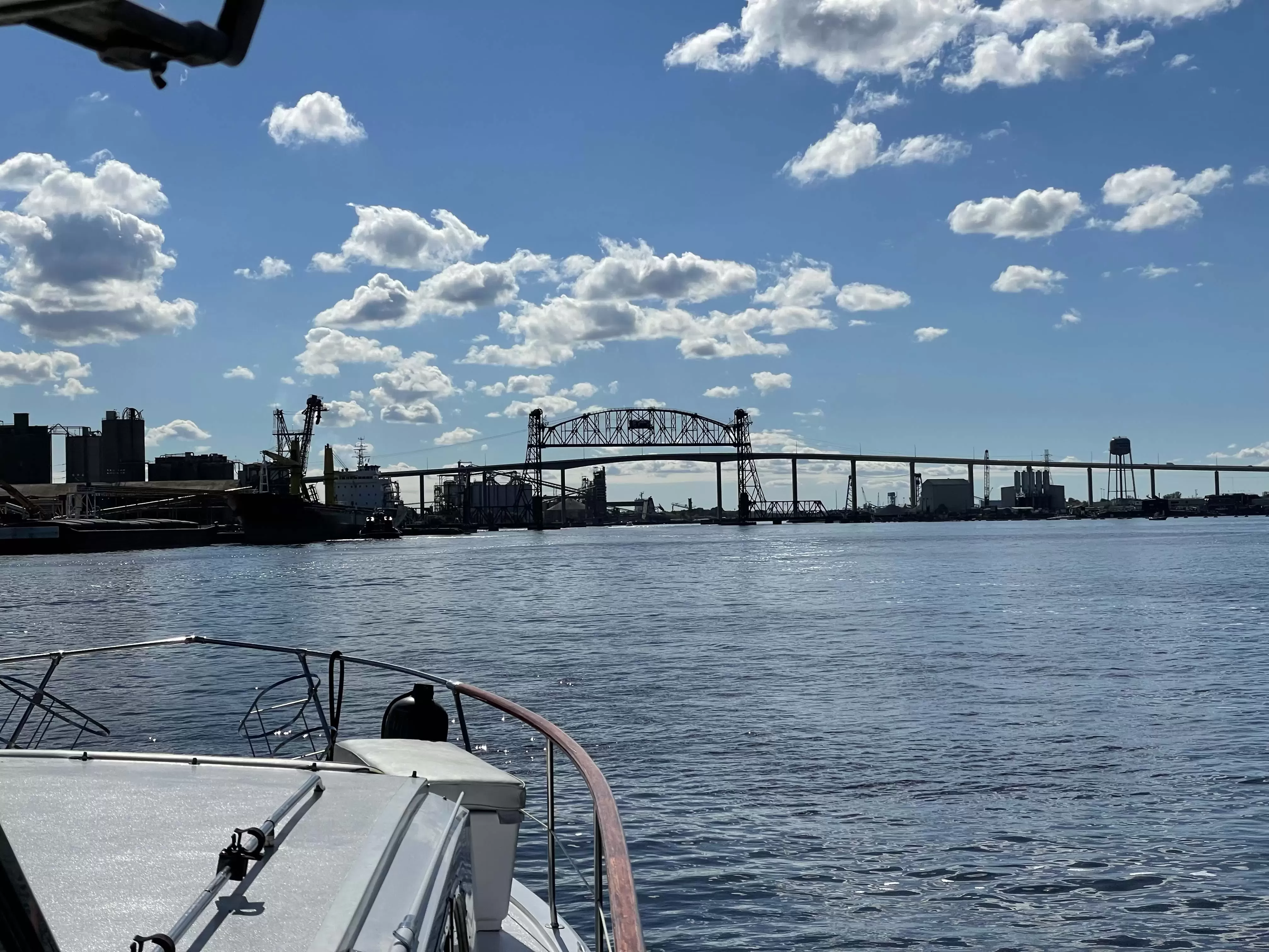
Belt Line Railroad Bridge
- Mile Marker: 2.6
- Lat / Lon: N 36° 48.700' / W 076° 17.417'
- Bridge Type: Lift
- Vertical Clearance (Closed): 6.00 ft.
- Horizontal Clearance: 300.00 ft.
- Schedule:
The draw will operate as follows: (1) The bridge will be left in the open position at all times and will only be lowered for the passage of trains and to perform periodic maintenance authorized in accordance with subpart A of this part. (2) The bridge will be operated by the controller at the Berkley Yard office. (3) The controller will monitor waterway traffic in the area of the bridge and directly beneath the bridge with closed circuit cameras mounted on top of the bridge and with surface navigational radar. (4) When the bridge closes for any reason, the controller will announce 30 minutes in advance, 15 minutes in advance, and immediately proceeding the actual lowering, over marine channel 13, that the Belt Line Railroad Bridge is closing for river traffic. In each of these three announcements, the bridge/train controller will request all concerned river traffic to please acknowledge on marine channel 13. (5) The bridge shall only be operated from the remote site if closed circuit visual and radar information shows there are no vessels in the area and no opposing radio communications have been received. (6) While the Belt Line Bridge is moving from the full open position to the full closed position, the bridge/train controller will maintain constant surveillance of the navigational channel to ensure no conflict with maritime traffic exists. In the event of failure of a camera or the radar system, or loss of marine-radio communications, the bridge shall not be operated by the off-site bridge/train controller from the remote location. (7) If the off-site bridge/train controller's visibility of the navigational channel is less than 3/4 of a mile, the bridge shall not be operated from the remote location. (8) When the draw cannot be operated from the remote site, a bridgetender must be called to operate the bridge in the traditional on-site manner. (9) The Belt Line mid-channel lights will change from green to red anytime the bridge is not in the full open position. (10) During the downward and upward span movement, a warning alarm will sound until the bridge is seated and locked down or in the full open position. (11) When the bridge has returned to its full up position, the mid-channel light will turn from red to green, and the controller will announce over marine radio channel 13, "Security, security, security, the Belt Line bridge is open for river traffic." Operational information will be provided 24 hours a day on marine channel 13 and via telephone 757-271-1741 or 757-633-2241.
Editor's Note: Bridge schedules are subject to temporary change due to repairs, maintenance, events, etc. Check the Waterway Explorer for possible nav alerts. - VHF Channel: 13
- Phone: 757-271-1741
DISCLAIMER: Bridge heights and clearances are published from sources and records provided by various state and federal entities. Waterway Guide Media does not warrant the information as accurate. Water depth, placement of on-location signage and other variables may impact published horizontal and vertical clearances. Exercise caution when transiting.
/-76.2902833333,36.8116666667,12/500x250?access_token=pk.eyJ1Ijoid2F0ZXJ3YXlndWlkZSIsImEiOiJGRmM1RDdzIn0.Wya5yV5QEqbz0-fct8zyIA)
1 Boater Comment
-
Comment by: Christopher Carmody on Oct 30, 2022
Vessel Type: Power
LOA: 43'
Draft: 4.0'Beginning/ending of the no wake zone heading north/south through Norfolk. Always a Navy patrol boat on north/west side.
View location on the Waterway Guide Explorer


